Piste and Terrain Maps for Lauterbrunnen
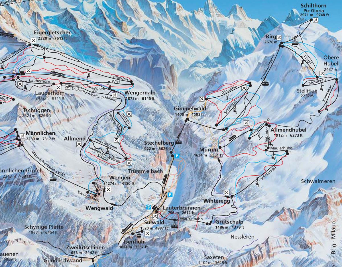
Lauterbrunnen Piste Map
Trail Map for Lauterbrunnen - Ski Resort in Jungfrau Region, Swiss Alps - 132 miles of Trail

Lauterbrunnen Location Map
Check the official Piste Map of Lauterbrunnen or use the map below to locate accommodation and ski shops...
Tap symbols for info. Tap  for Full-Screen. +/- Zoom in to find Hotels and Hire Shops.
Switch view to map of Adelboden, Grindelwald, Kandersteg or Wengen.